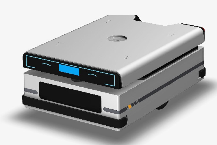
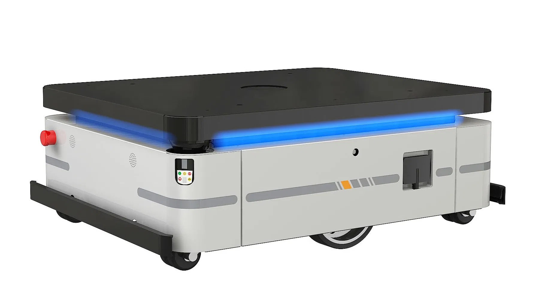
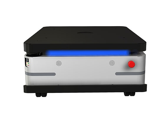
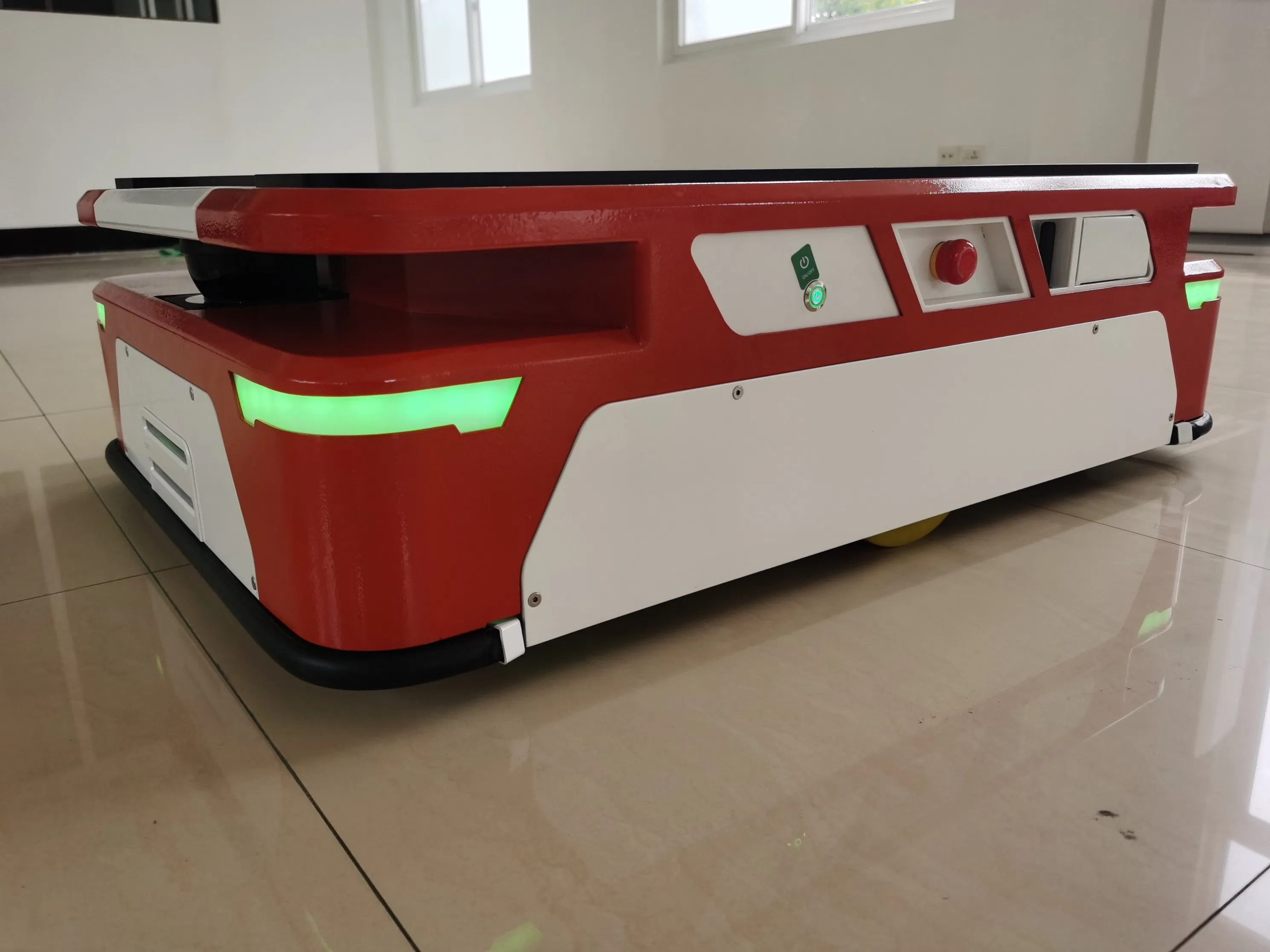
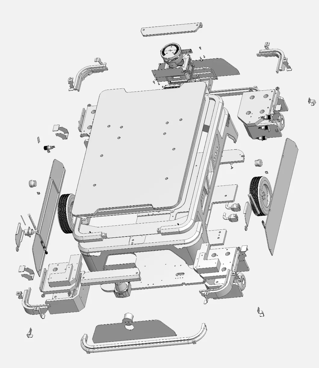
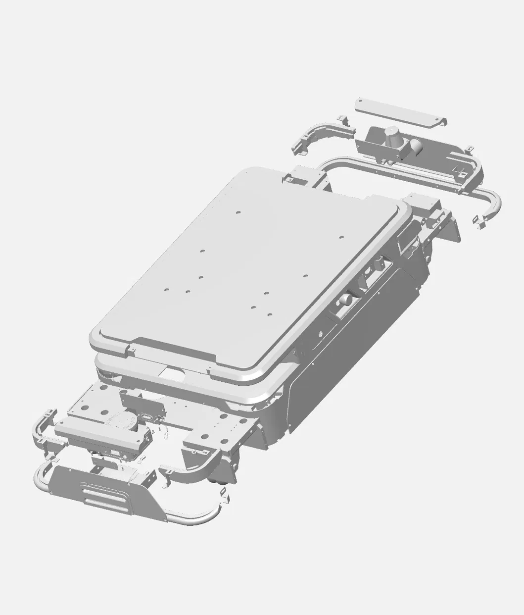
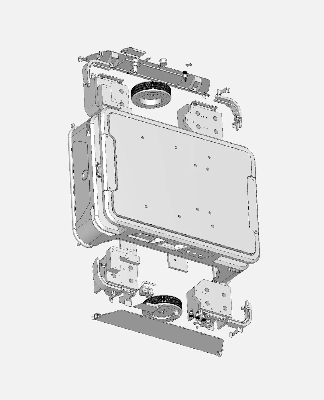
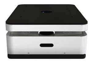
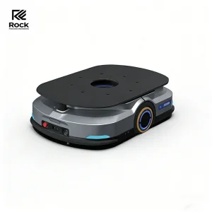
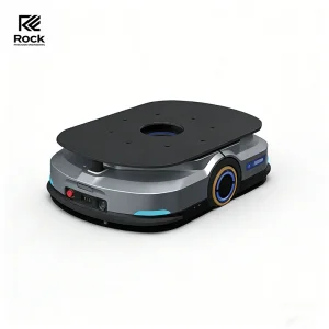
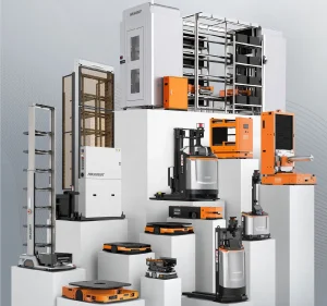
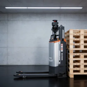
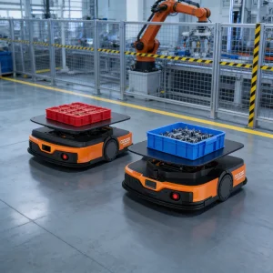
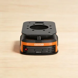
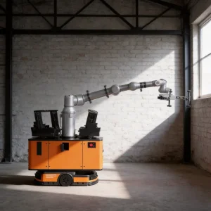
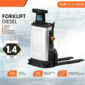
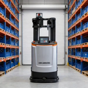
AMR robots have been one of the most discussed forms of automation technology in manufacturing and distribution centers. The potential to have automated transportation is a huge benefit to save on costs but also to fight off labor shortages. In this post, we will go through the very basics of this type of technology and help you understand what makes an AMR robot such a polarising piece of technology.
The AMRs require incredibly sophisticated sensors to be fitted in their unit in order for them to navigate so well. Although several environmental sensors can be used, laser scanners and LiDAR sensors are most frequently employed. LiDAR scanners operate by sending out light pulses that strike various surfaces and bounce the light back to the sensor, where it is once more detected. The length of time it took for the light to be sent back to the sensor will then be determined by the AMR's processing system. This enables the LiDAR sensors to map the separation between certain objects and gives the AMR robot information about the areas it can and cannot travel in.
Road Surface Conditions
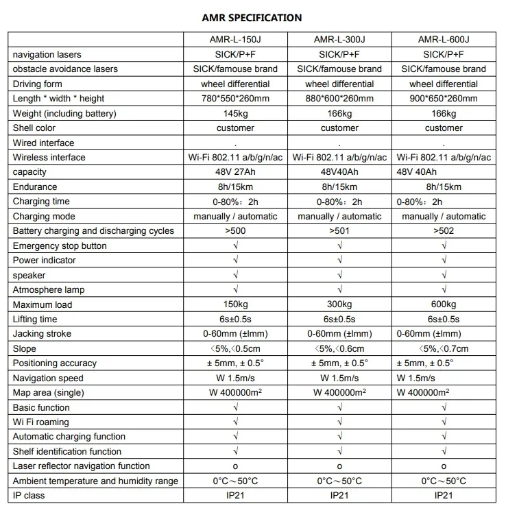
The road surface shall be flat and clean without obvious fluctuation. The inclination must not be higher than 5%. The robot cannot stop or turn at the ramp, step, and gap, but can only pass quickly perpendicular to them.
Positioning & Path Accuracy
Positioning accuracy refers to the repetition accuracy of the robot navigating to the target site. When the lidar-scanned environment is stable, fixed-direction navigation repetition accuracy can reach the expected value. During virtual path running, the robot fits the path but path repeatability is not guaranteed (arrival accuracy is ensured, path fitting accuracy is not). With a minimum station spacing of 1CM, it cannot be used as a linear guide rail.
Basic Functions
System core functions include map editing, model editing, positioning module, navigation module, basic motion model (differential steering), and API interfaces for customized development.
Automatic Charging
The mobile robot system shall be operated in conjunction with a qualified, compatible automatic charging pile to ensure continuous operation.
Environmental Limitations
AMR is designed exclusively for indoor transportation environments and is not recommended for outdoor operations.
Frequently Asked Questions (FAQ)
Q1: What technology do AMR robots use for navigation?
AMR robots utilize highly sophisticated environmental sensors, most notably laser scanners and LiDAR sensors. These sensors emit light pulses that bounce off surrounding surfaces, mapping the area in real-time to allow the AMR to safely navigate around obstacles.
Q2: What are the road surface requirements for operating this AMR?
The operating path must be flat, clean, and free of obvious fluctuations. The inclination should not exceed 5%. Additionally, the robot cannot stop or turn on ramps, steps, or gaps; it must pass over them quickly and perpendicularly.
Q3: How accurate is the positioning of the AMR robot?
When scanning a stable environment, the repetition accuracy of the AMR navigating from a fixed direction to the target site reaches expected parameters. However, while it ensures arrival point accuracy, path-fitting repeatability is not guaranteed. Due to the 1CM minimum station spacing, it cannot be used as a linear guide rail.
Q4: What basic software and control features are included?
The system features map editing, model editing, positioning and navigation modules, basic motion models (differential), and an API interface for custom system integration.
Q5: Can this AMR robot be used outdoors?
No. This AMR robot is designed strictly for indoor transportation and is not recommended for outdoor environments.
Q6: How does the AMR recharge?
The AMR robot must be paired and used with a qualified automatic charging pile to support autonomous power management.
 RAB Logistics